Municipal zones
Ahmedabad Municipal Corporation divides the city into seven zones, from the walled centre to the south-east suburbs.
Ahmedabad
Seven municipal zones and 48 electoral wards, from the pols of the walled city to the expressways of the new west.

The original core of Ahmedabad, known for heritage architecture, traditional pols, and bustling bazaars.
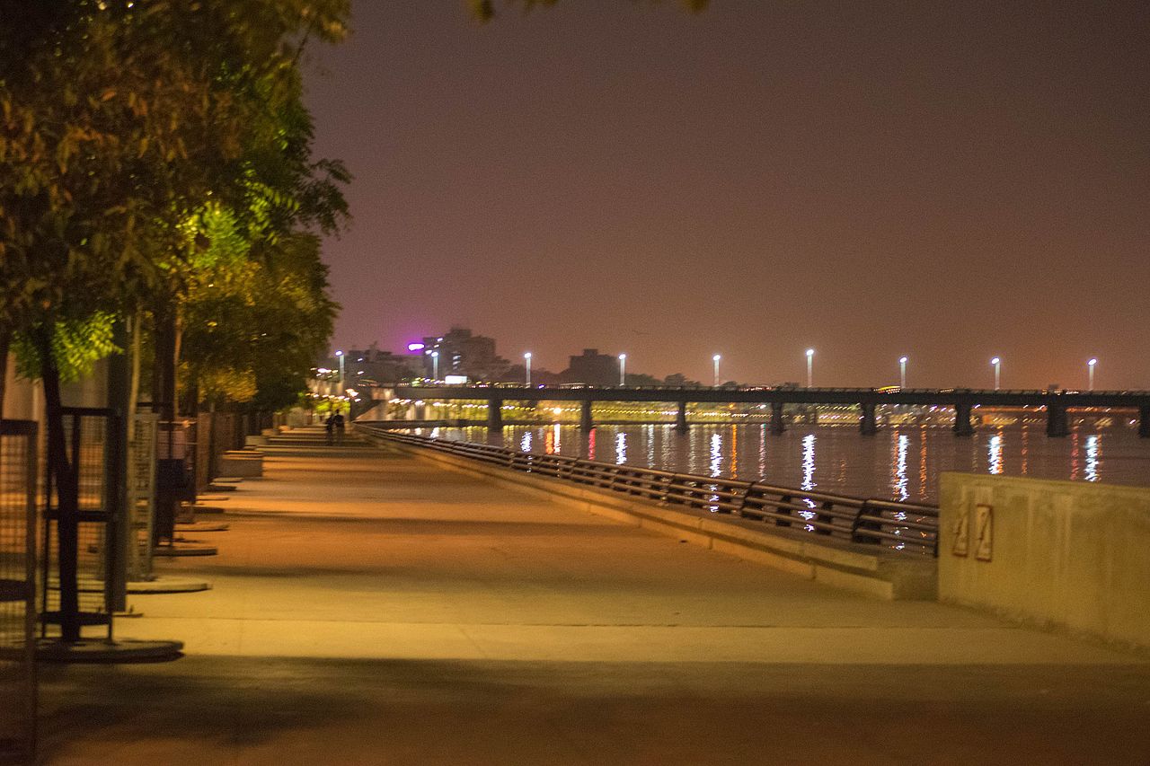
Along the western bank of the Sabarmati: campuses, established homes, and commercial streets.

The northern stretch along the river and the roads toward Gandhinagar.

South of the riverbed, mixing older neighborhoods, industrial belts, and transit junctions.
Former mill lands and workers' colonies that are now mixed commercial and residential sectors.
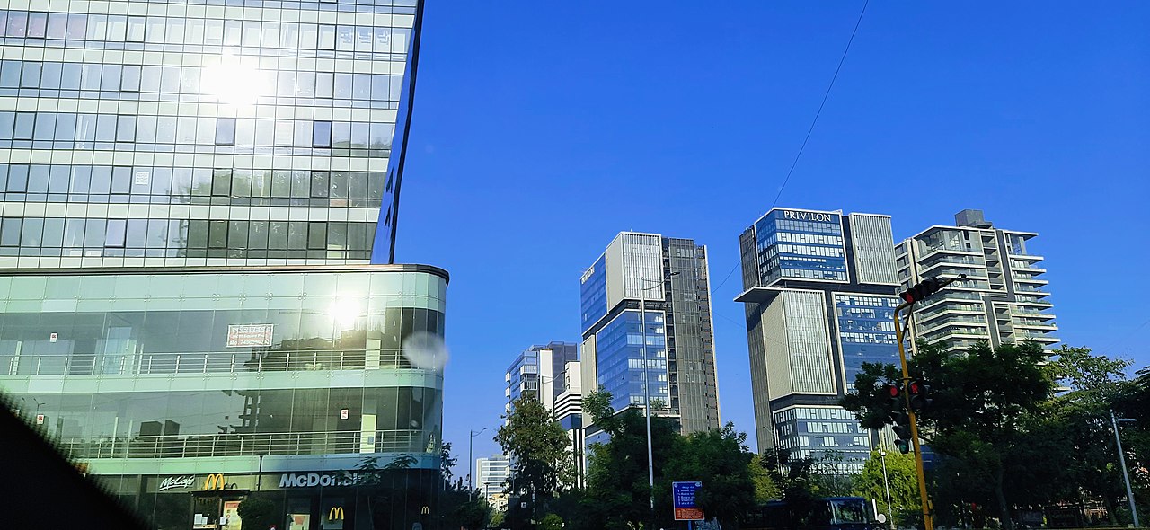
The fast-growing west: high-rises, offices, malls, and wide expressways.
Large-scale housing growth, affordable developments, and major arterial roads.

Pols, gates, stepwells, and the monuments of the old city and its edges.

Temples and mosques that have shaped Ahmedabad's skyline and street life.

The riverfront, lakes, Science City, and the stadium.

Night markets, bazaars, high streets, and malls.

Campuses and labs clustered around Navrangpura, Paldi, and Vastrapur.

The airport, the two main rail junctions, Metro, and BRTS.
Ahmedabad Municipal Corporation divides the city into seven zones, from the walled centre to the south-east suburbs.
Each zone holds electoral wards and dozens of named areas, from a single pol to a whole highway.
The river is the line between the heritage east and the planned, commercial west.
Ashram, stepwells, the riverfront, Kankaria, and the stadium at Motera sit inside those zones.
The airport is at Hansol. Rail is Kalupur and Sabarmati. Local travel is Metro and Janmarg BRTS.

